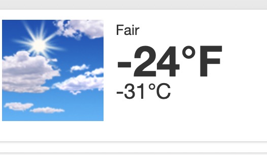
Lake Vermilion Area Weather – Dec. 12
KEY MESSAGES
– Cold temperatures and wind chills continue today. Another Cold
Weather Advisory may be needed tonight for northern Minnesota.
– Mixed precipitation expected over this weekend, mainly across
northwest Wisconsin and the I-35 corridor.
– Another system will bring mixed precipitation early next week.
DISCUSSION
Issued at 159 AM CST Thu Dec 12 2024
Bitterly cold conditions continue this morning due to both
subzero temperatures and gusty winds. Wind chills as low as -35
will persist through the morning, and as low as -20 for the rest
of the day. Cold temperatures remain for tonight, but winds
will have died down. Wind chills are only expected to get down
to -25 tonight, so an additional Cold Weather Advisory is not
currently needed. However, if temperatures trend down or winds
manage to mix down, an additional Advisory may be necessary.
Lake effect snow is also expected to decrease in intensity this
morning as winds decrease and shift slightly more westerly with
the incoming high pressure. However, light snow and flurries
will linger throughout the day along the South Shore, as cold
air continues to be advected over Lake Superior. Additional
snowfall accumulations less than an inch in Ashland and Bayfield
counties and up to an inch in Iron County expected.
Skies will be mostly clear today, except areas downwind from
lakes, which will receive cloud cover and possible flurries induced
by the lakes. Little snow accumulations are expected.
Temperatures will warm on the back side of today`s high
pressure for the incoming weekend as flow shifts to the
southeast. High temperatures will rise above freezing for most by
Saturday.
An upper level trough will swoop up from the Central Plains
early Saturday and bring precipitation to the Northland through
Sunday morning. The lingering warm air will cause the
precipitation to fall as a wintry mix initially before
transitioning to snow as cold air moves in, particularly in
northwest Wisconsin which will be in the warm sector of the low.
A glaze of ice is possible in some areas, but the extent that
mixed precipitation will fall before changing to snow and the
amount of each type of accumulation is uncertain.
Shortly following, another deep trough will move through the
Northern Plains and will bring another round of mixed
precipitation early Monday into Tuesday. From the latest global
model runs, warm air is expected to remain in the lower levels
with cold air aloft, limiting chances for ice accumulation.
However, this could change as the event approaches since
uncertainty is high. Any mix will transition to all snow Monday
night behind the system`s cold front.
There are more chances for snow later in the week, but models
begin to diverge on solutions.
AVIATION
Issued at 521 AM CST Thu Dec 12 2024
Models seem to be catching up with keeping skies VFR under
today`s high pressure. However, models are still trying to show
low ceilings downstream from lakes that are frozen. Left those
as VFR in the TAFs. There are a few lakes in Canada whose waters
are still open, and could lead to a few flurries at INL.
Anthropogenic snow continues at HIB.
MARINE /FOR NEAR SHORE WATERS OF WESTERN LAKE SUPERIOR
Issued at 159 AM CST Thu Dec 12 2024
Strong northwest winds will slowly decrease throughout the day.
Gales along the North Shore will ease later in the morning, with
remaining hazardous conditions for small craft lingering
into tonight. Small Craft Advisories will replace the Gale
Warning later this morning. As winds decrease, the risk for
freezing spray along the South Shore will decrease as well by
this afternoon. Winds will increase again out of the southeast
on Saturday with a small system. Conditions hazardous to small
craft is expected for the far North Shore.
For the open water discussion, refer to the NWS Marquette Area
Forecast Discussion at weather.gov/mqt.

